When Thomas Penn laid out the town in 1748, he chose the site of an old Indian ford on the Schuylkill River. The ford served an old Indian trail which had become one of the major routes north and west from Philadelphia.
Penn’s first street plan basically bracketed that old trail, which became Penn Street, and the town plan ran from the river to Penn’s Commons, and was only four blocks wide, from Chestnut to Walnut streets.
Below: First Layout of the Town of Reading.

The major factors that the colonists had to contend with were the mountains, Penn and Neversink, the river, and the Great Hollow.
The Great Hollow, a steep dry ravine, cut diagonally from what is now Second and Washington streets to Fifth and Buttonwood streets.
For more than a century, it effectively cut off the development of the town to the northwest.
On the northern side of the hollow, Penn laid out large “outlots” which ran at a diagonal pattern to the downtown grid pattern of streets.
That diagonal pattern basically followed the lines of the Great Hollow, as did the few streets in the area — First Hockley Lane and Second Hockley Lane, which were rural routes to serve the outlots.
First Hockley Lane remains in portions of Woodward and West Elm streets.
Below: 1816 Map of the Town of Reading.

After the city’s first topographical survey in 1866, the city fathers decided to continue the grid pattern throughout the city, except for some of the busy diagonal highways of the time — Centre Pike, Schuylkill Road, Bingaman Street and Perkiomen Road.
The Great Hollow was gradually graded, filled in and developed, but vestiges of the hollow remain in the dips on North Second, North Third, and North Fourth streets near the downtown area.
The second major factor in the eventual development of the town was the railroad, and it was both a help and a hindrance.
The decision to run the tracks down Seventh Street in the late 1830s, and later decisions to locate the huge rail yards in the northern center of town, effectively limited the growth of northeast Reading for decades.
But the railroad also meant development along the tracks and yards, both by industries benefitting from rail service, and by workers building houses to be closer to their jobs.
Below: 1898 Map of the Town of Reading.

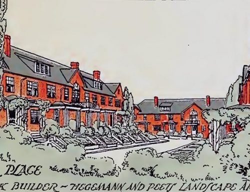
A third major factor was the trolley, which was started in the 1870s primarily to connect the center of town, where most people still lived, with the growing resort areas on Mt. Penn and Neversink Mountain, and in Mineral Spring and Pendora parks.
Those early trolley lines opened up the Mineral Spring Road-Perkiomen Avenue area to “suburban” development.
They made it possible for the rich, and the not-so-rich, to build homes in the healthful mountain air outside the city proper, and still easily commute to their jobs downtown.
The development of future trolley lines opened up other areas of the city to development, especially in northeast Reading, and the way the tracks ran was the way the area developed.
For instance, the main junction for the trolleys in eastern Reading was Ninth and Penn streets, and the same intersection was also the terminus of the electric railroads which served the mountain resorts.
It became a beehive of activity, and eventually the downtown grew to meet it.
North Ninth Street itself became heavily commercial because of the trolleys. That was the route out to the northeast, and Eighth and 10th streets were the return routes to downtown.
Since most people still lived in the downtown area, or in southwest Reading, the merchants congregated on North Ninth Street to catch the shoppers on the first leg of their trip.
The trolleys and the railroads combined to aid development of the North Fifth Street-Centre Avenue area.
When the Outer Terminal was built in 1874 at Sixth and Greenwich streets, there was no North Fifth Street beyond Centre Avenue.
When the trolleys grew to service the Outer Station, then the hub of regional transportation, the “suburban” development of the area followed.