Bern Township is a township in Berks County, Pennsylvania.
Bern Township was settled in 1733, mostly by German farmers. It was established in 1738 and was named for the city of Berne, Switzerland. Originally, it was bounded on the east by the Schuylkill River, on the west by the Tulpehocken Creek, on the south at the confluence of the two rivers, and on the north by the Blue Mountains.
The part of Bern Township on the north side of the Blue Mountains was taken away and made part of Brunswick Township in Schuylkill County leaving the crest of the mountain as the dividing line between the counties. In 1789 the northern part of the township was split off and named Upper Bern.
Three other townships were carved out of Bern: Penn Township was formed in 1841 by taking parts of Bern and Upper Bern townships, Centre Township was formed in 1843 out of an eastern sector of the township and Tilden was created in 1887.
For many years the only community of any size in the township was West Leesport. This community, however, became a separate borough in 1909. Historical records, written before the turn of the century, say, “West Leesport owes its existence to the West Leesport station on the Philadelphia & Reading Railroad within its confines.”
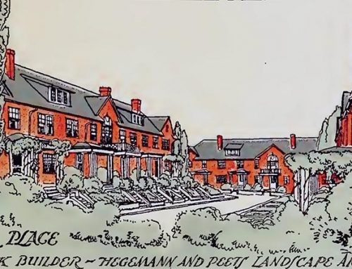
Glenside, now the 19th Ward of Reading, was once part of Bern Township as well. The first recorded name of the area was West Bridgeport.
In September of 1902, William Dechant renamed West Bridgeport and laid out a development plan for what has since been known as Glenside.
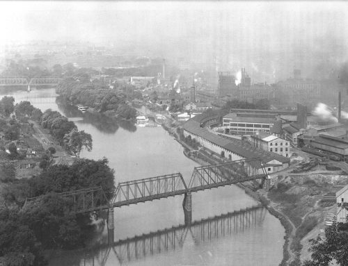
Today the Schuylkill River and the Tulpehocken Creek account for two thirds of the Bern Township’s boundary. On the north side, the Borough of Leesport marks the northeast corner of the township and a point southwest of Bern Church marks the southwestern corner.
A line, roughly parallel with Grange Road and Zeigler Road, runs in a westerly direction from the West Leesport Community to a corner beyond Fairview Heights and then turns in a southerly direction to a point between Possum Lane and White Oak Lane where it turns again southwest, crosses PA Route 183, near Bern Church, and extends to the Tulpehocken Creek.
Since the removal of Glenside, a short borderline connects the Tulpehocken Creek and the Schuylkill River along the southern boundary of the Berkshire Country Club marking the edge of the Bern Township section known as Greenfields.
The National Register of Historic Places lists several properties in Bern Township; Wertz’s covered bridge (ca. 1867) crossed the Tulpehocken Creek joining Bern with Spring Township; designed by Theodore Burr, it is one of the longest remaining covered bridges in Pennsylvania. The Rieser Gristmill (ca. 1785, 1825) is found about a mile south of Leesport. The Rieser-Shoemaker Farm is associated with Rieser mill. While Riesers were millers by trade, they operated the farm primarily to grow food for the family. The Gruber Wagon Works is located at the Berks County Heritage Center.
Below: Gruber Wagon Works, Berks County Heritage Center.

The Gruber Wagon Works originally stood at the northern end of Gruber Road, in nearby Mt. Pleasant (Pleasant Valley), Penn Township. Pleasant Valley was a community up along Route 183 that was seized by the U.S. Army Corps of Engineers through eminent domain to build Blue Marsh Dam. The dam controls the flow of the Tulpehocken Creek, which flows into the Schuylkill River.

Leave A Comment